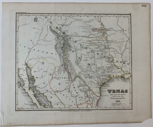
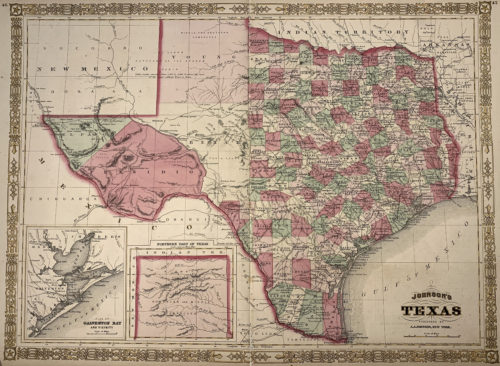
This impressive large scale and highly detailed map represents the first thorough exploration and survey of North Central Texas from just west of Fort Worth to the area around where Albany is now and thence as far to the southwest as Big Spring area – including the furthest headwaters of the Brazos and Colorado Rivers.
The month’s long reconnaissance started when Captain Marcy and his crew left Fort Smith on June1st, 1854 to Fort Washita and thence to the area of the Brazos River headwaters.
Fort Chadbourne and Fort Phantom Hill, both along the Clear Fork of the Brazos, as well as Fort Belknap are recorded, as are numerous wagon roads, many topographic features, springs, Indian villages and the “War Trail of the Northern Indians”. A significant part of the area shown, including some of the most desirable lands, was part of the Peter’s Colony, which was organized in 1841 and was one of the original Land Grants given to the various Texas Empresarios. The colony had a long and troubled history of ownership and was eventually re-organized as Texas Emigration and Land Company. Within this area two reservations for the Comanche, Kiowa and Kickapoo that were proposed by the new State of Texas are shown.
Captain Marcy of the United States Army was a West Point graduate and one of the foremost explorers and surveyors of North Texas and the American west. In addition to his precise work documented in this map he also explored much of Texas and Oklahoma and was the first to discover the source of the Red River as well as the Palo Duro Canyon. His exploratory maps are some of the finest examples of early Texas exploration.